|
|
| Mining Claims For Sale | |||||||||||||||||||||||||||||||||||||||||||||
|
|
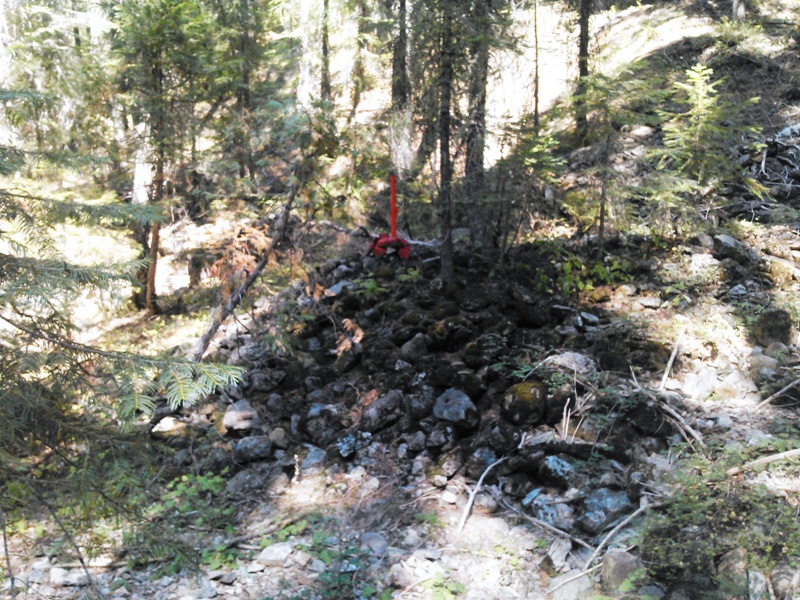
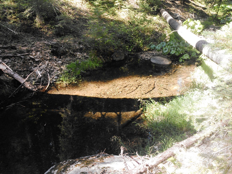
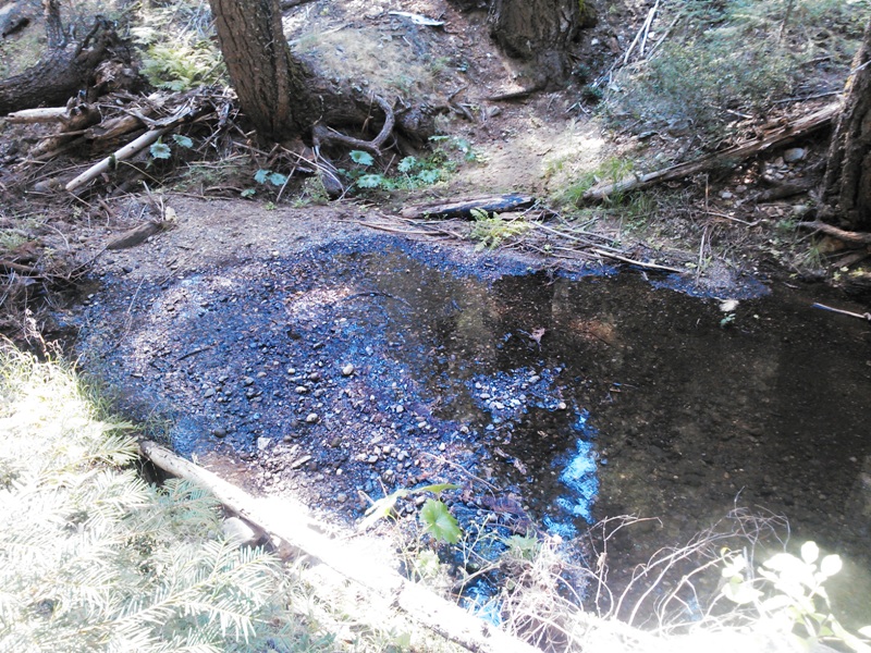
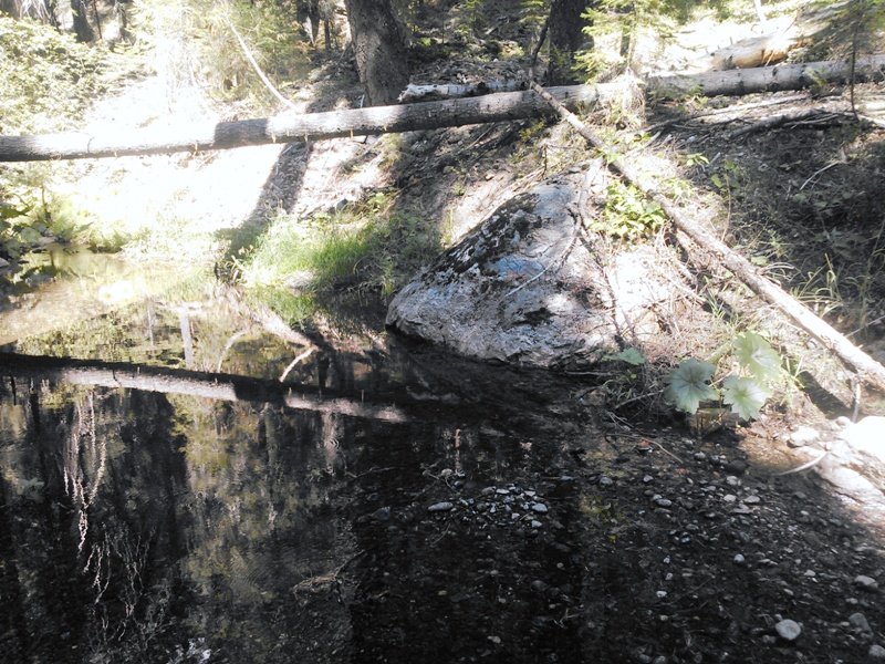
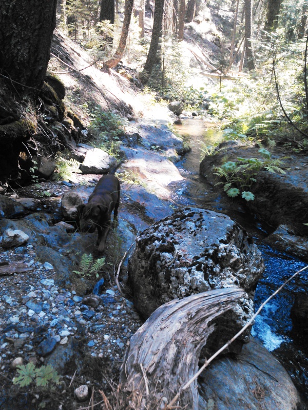
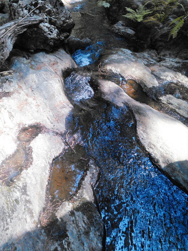
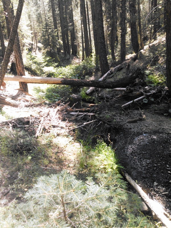
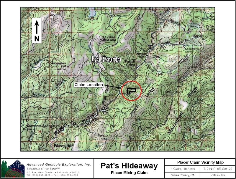
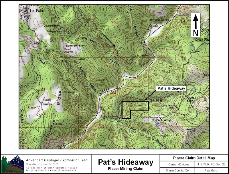
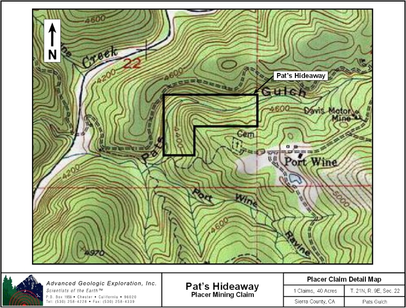
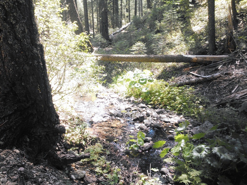
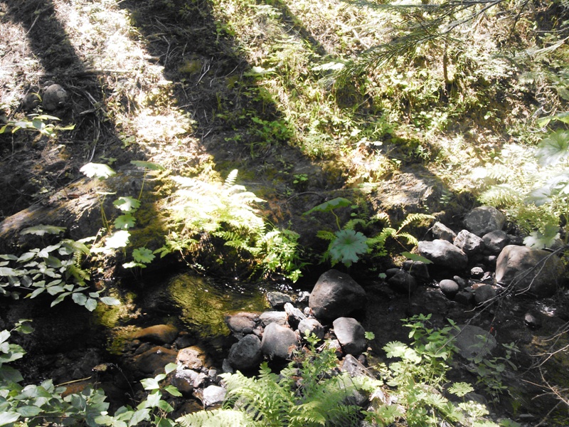
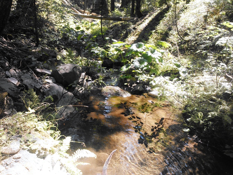
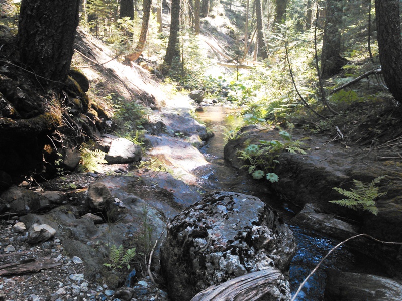
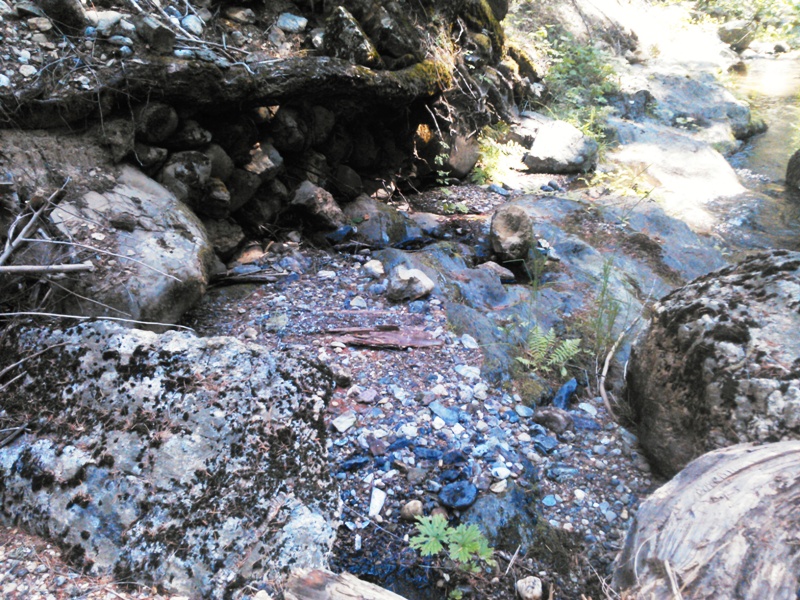
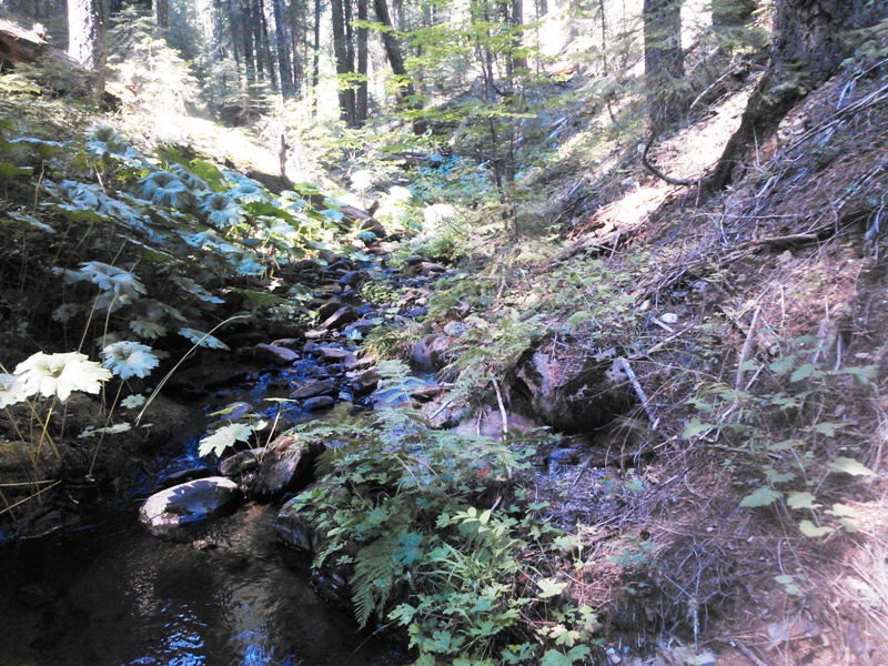
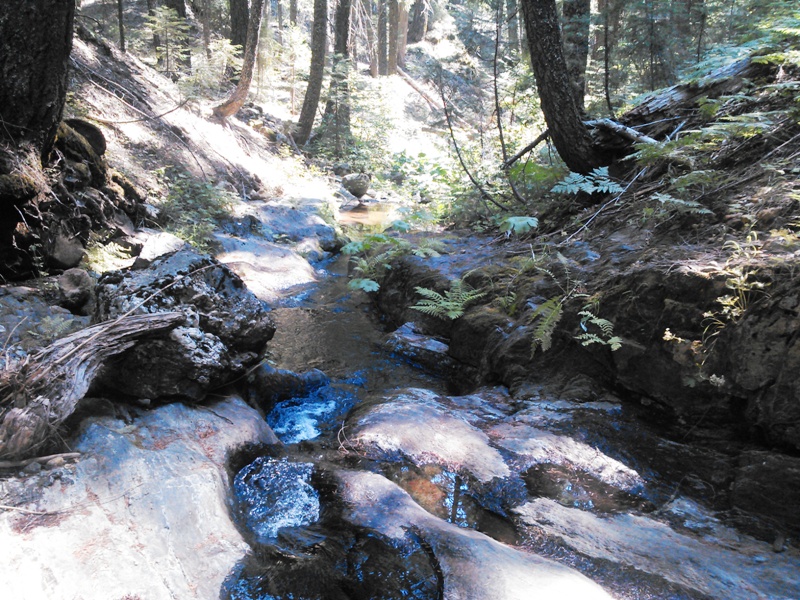
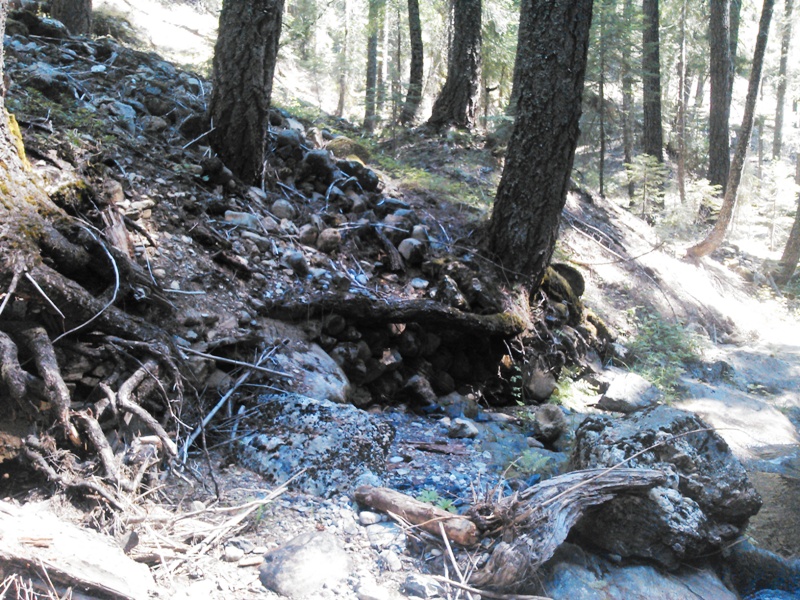
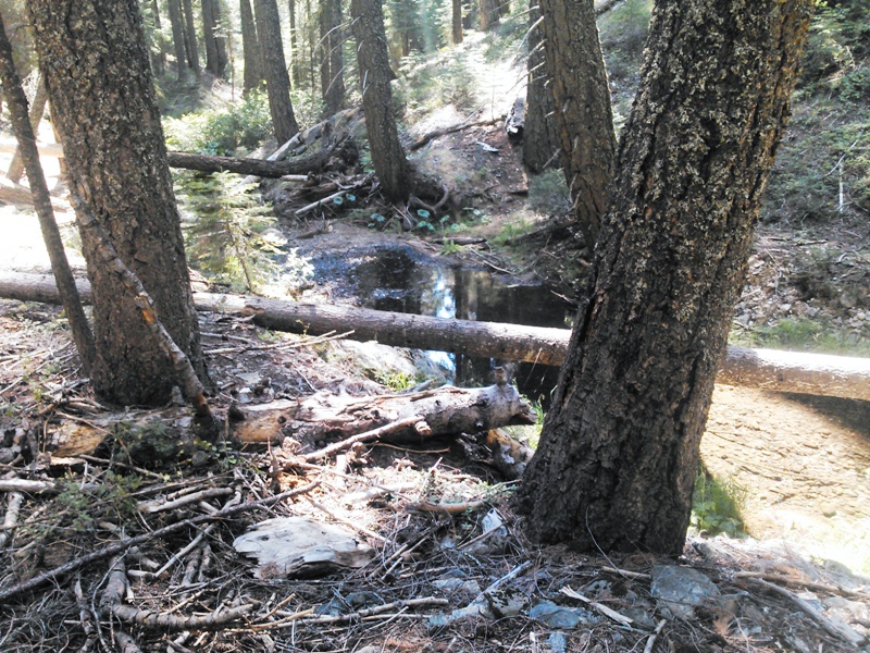
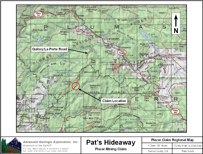
Pat's Hideaway ±40 Acres Price: $10,000
Our Pat's Hideaway is located in the Port Wine gold district, which lies about 10 miles northwest of Downieville. Geology: The Port Wine channel, a major branch of the La Porte channel, extends southwest through this area. It is roughly parallel to the La Porte channel for some miles and joins it at Scales. The channel is well-defined and several hundred feet wide. The gravels are quartz-rich and in places are covered by "pipe" clay and andesite. Bedrock is slate, quartzite, amphibolite, and greenstone. Work Cited: “Gold Districts of
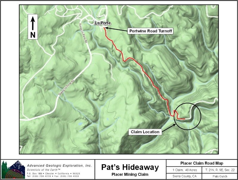
Click here Google Earth Fly To and see an aerial photo of Pat's Hideaway and the claim boundaries. Google map it for directions to claim. Estimated GPS Coordinates:
Standard Information The Pat's Hideaway placer mining claim is a non-patented federal mining claim. You will need to file appropriate annual paperwork to hold the property every year. (Ask us about our Filing Service to assist you with that!) Annual property tax assessment is approximately $1.12 an acre . BLM Fees & Advanced Geologic Transfer Fees Upon payment, the mineral claim will be transferred via a notarized Quitclaim notice filed in your name with Sierra County and the BLM. Limited payment terms and conditions are available; information available on request. Advanced Geologic has an exceptional annual claim paperwork filing system that will maintain your annual filings for any claim in the United States. Advanced Geologic reminds you that you MUST file annual notices with both the county in which the claim is located AND with the Bureau of Land Management by the appropriate dates. There are NO exceptions and errors will lead to the loss of your claim! Are your claims filed correctly? Advanced Geologic is a professional geologic consulting firm located in Chester, California. We not only sell quality mining claims, but we also help people work their claims. Our experience in resource evaluations, compliance and permitting and claim portfolio management allows our clients and buyers to go for the GOLD. Interested? Send us an email or call.
\
|
|
|||||||||||||||||||||||||||||||||||||||||||
|
|
|||||||||||||||||||||||||||||||||||||||||||||
|
|